
The Folly of Cartography II: Honey War
When lines on a map are made to represent ownership and economy, ecology, culture, and care become collateral in colonial conflicts.

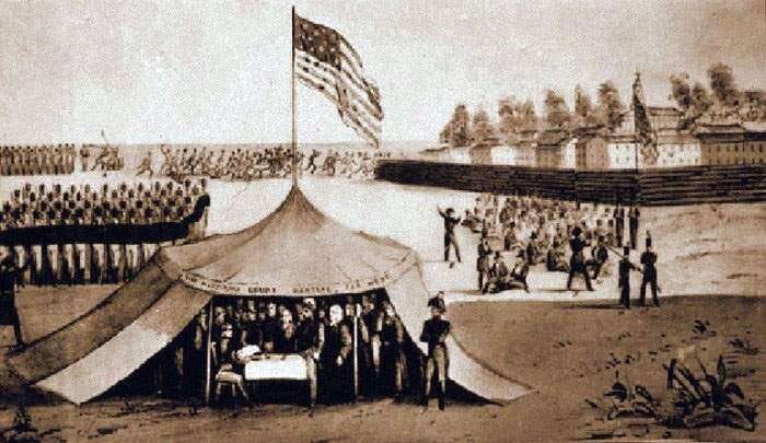
Missouri’s far Western Militia, which marched on and promptly shrugged at modern day Iowa.
The following is a brief, historical addendum to an earlier piece, The Folly of Cartography. Go back and check it out if you haven’t, I believe it is currently available to all. Further back in the archives, there is another piece which delves into common land ownership in feudal Europe, which also holds some value in this exploration of place and ownership. Older posts are archived for the benefit of paid subscribers, so consider pitching in for access to some of my “deep cuts”.
What is place? Is it the coordinates on a map, tied neatly and packaged for our agreed-upon understanding of cartographic mathematics? Is it the clay-stricken hardpan, hewn from the graveyard of prairie grasses by our colonial past, hunted ‘til bereft of history, extirpated of elk, bison, wolf, and passenger pigeon, ground down and sent aloft on the hot wind of industrial progress, assimilated, lost, and removed? Where are we really standing? On which side of which economic boundary do we exist? Is it a cultural boundary? Is it bio-regional? Does the boundary exist?
Land acknowledgements aside, I live in modern day Northeast Missouri, as far as the IRS is concerned. In the past 150 years, more or less, this has been our designation. Prior to that, we were part of Wisconsin territory, Michigan territory. Prior to that, we were, in my estimate, a week’s sojourn from the rapids of the confluence of the Des Moines and Mississippi. By foot, within as hunting party that would have set fire to grasslands on the edge of riparian sloughs and oxbows, hilltops and wood, to send trampling bison and fluttering turkey down within range of flint-tipped arrow and spear. The slope I trample daily would have been untread by human feet for years, excepting for the occasional pursuit of nourishing game.
But that’s just a reasonable guess. Going north on MO-15, somewhere between Memphis, Missouri and Milton, Iowa, there is a noticeable transition in the quality of highway. It demarcates a particular political boundary, between this place, the canny and resourceful emplacement of we bushwhacking clodhoppers, and the land of beautiful hogs and cornfed gentry (with expanded Medicaid).
How did we get here? A surveyor with skills on par with myself, a couple regiments of poorly armed bumpkins and provincial rubes, and naturally the US Supreme Court, otherwise known as bumpkins with clout and a lack of guiding principle.
